the Creative Commons Attribution 4.0 License.
the Creative Commons Attribution 4.0 License.
 | 18 Oct 2024
Subsurface floats in the Filchner Trough provide the first direct under-ice tracks of the circulation on shelf
Jean-Baptiste Sallée

Lucie Vignes
Audrey Minière
Nadine Steiger
Etienne Pauthenet
Antonio Lourenco
Kevin Speer
Peter Lazarevich
Keith W. Nicholls
Related authors
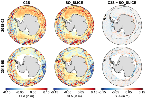
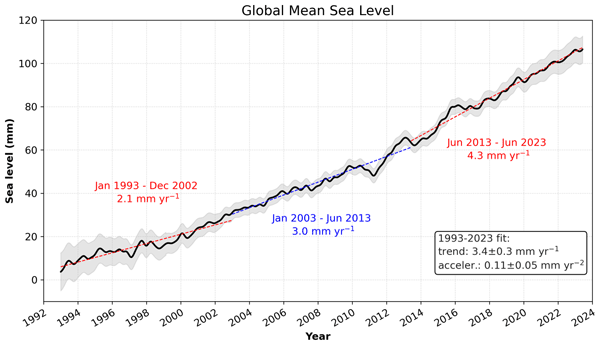
Sea level is a key indicator of ocean change, but it is hard to measure around Antarctica, where sea ice hides the ocean from satellites. Yet satellites flying over the ice still receive clear echoes from openings in the ice, where water is exposed. We reprocessed these echoes from four satellite missions and combined them with open-water data, building the longest sea level record for the whole Southern Ocean (2003 to 2021). It offers a new way to track how this rapidly changing region evolves.
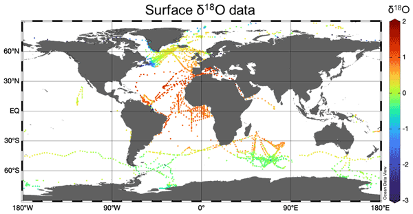
Sea level is a key indicator of ocean change, but it is hard to measure around Antarctica, where sea ice hides the ocean from satellites. Yet satellites flying over the ice still receive clear echoes from openings in the ice, where water is exposed. We reprocessed these echoes from four satellite missions and combined them with open-water data, building the longest sea level record for the whole Southern Ocean (2003 to 2021). It offers a new way to track how this rapidly changing region evolves.
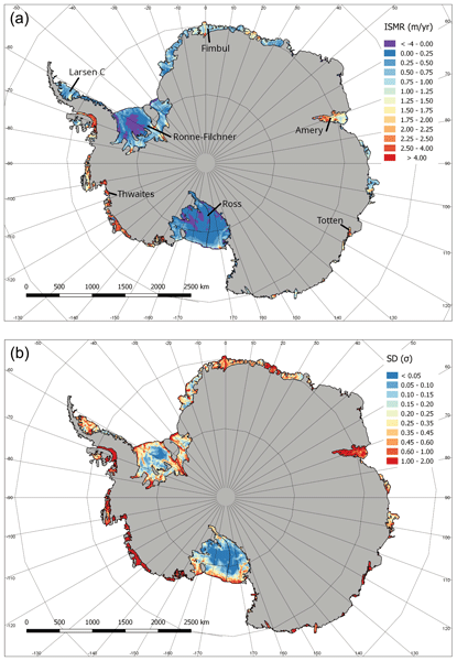
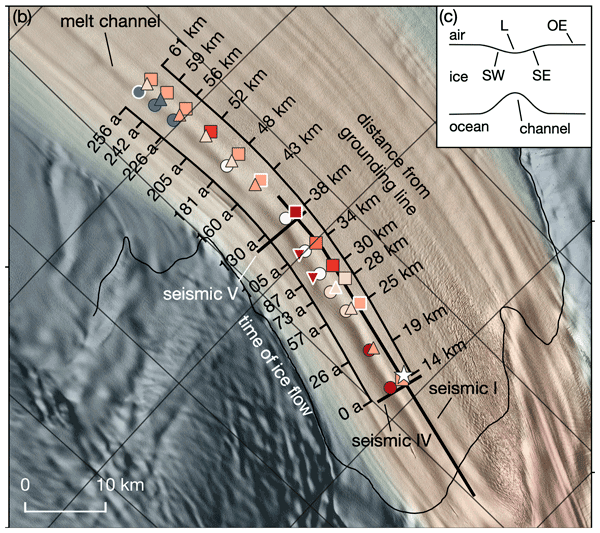
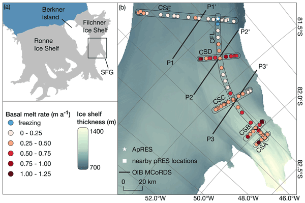
Quantifying melt and freeze beneath Antarctica’s floating ice shelves is vital to understanding present-day ice-sheet behavior and its potential to contribute to future sea-level rise. We compare 10 ice-shelf/ocean computer simulations with satellite data, providing the first multi-model estimate of melting and refreezing driven by the ocean. This new estimate offers a valuable tool for assessing ice-shelf roles in current and future ice-sheet changes, informing coastal adaptation strategies.